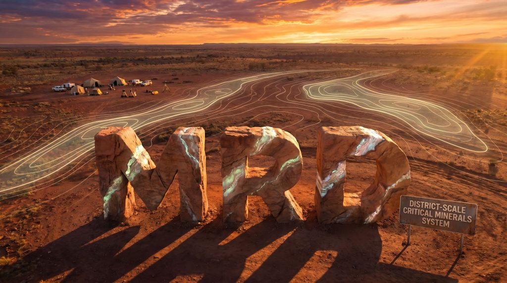
Mount Ridley Mines Ltd
Mount Ridley Mines Uncovers District-Scale Expansion Potential as 3D Gravity Modelling Validates and Extends Its Critical Minerals System
Mount Ridley Mines Limited (ASX: MRD) has released compelling results from a 3D gravity inversion modelling program completed across its flagship Mount Ridley Critical Mineral Project in Western Australia. Conducted by specialist firm Core Geophysics Pty Ltd, the study delivers a significant validation of the company's geological model while identifying multiple new high-priority targets well beyond the boundaries of the existing Mineral Resource.
Furthermore, the programme points to what the company describes as genuine district-scale potential. In practical terms, Mount Ridley Mines 3D gravity modelling expands critical minerals project potential by delivering a prioritised exploration roadmap that substantially reduces speculative drilling risk.
When big ASX news breaks, our subscribers know first
What the Modelling Confirms: A Bigger System Than Previously Defined
The headline outcome from the study is clear: the existing Mineral Resource is not the full extent of the mineralised system. It sits within a far larger geological structure, and the new 3D model has mapped that structure with greater resolution and confidence than ever before.
Key findings include:
- A major gravity anomaly exceeding 35 mGal defines the core of the mineralised system, coinciding directly with the existing REE-Sc-Ga Mineral Resource
- This core anomaly remains open along strike to the south and northeast, indicating the system has not been fully tested by historical drilling
- Two distinct mineralised corridors have been defined — a Western Trend, which hosts the bulk of current resources, and an Eastern Trend, which is largely untested
- Shallow depth to fresh rock of approximately 70–80 metres supports the potential for low-strip resource growth
- Historical drilling has been relatively shallow and has not adequately tested the depth extent of the gravity anomalies, meaning upside exists both along strike and at depth
- Multiple untested gravity trends outside the two main corridors display geophysical signatures comparable to the known resource areas, generating immediate follow-up drill targets
- Early reconnaissance drilling along accessible roads and tracks has already intersected anomalous heavy rare earths, gallium, and scandium across multiple targets beyond the current resource footprint
"The 3D gravity inversion results confirm that our existing resources sit within a much larger mineralised system. The strong correlation between mineralisation and gravity highs gives us confidence in the model and a clear framework for targeting future growth. With more than 30 kilometres of identified strike already in place, these results materially improve our confidence in the scale and continuity of the system."
— Allister Caird, Managing Director & CEO, Mount Ridley Mines Limited
Understanding 3D Gravity Inversion Modelling: Why It Matters for Investors
What Is 3D Gravity Inversion Modelling?
Gravity surveys measure subtle variations in the Earth's gravitational field caused by differences in rock density beneath the surface. Dense rocks, such as the mafic and gabbroic units interpreted at Mount Ridley, produce measurable gravity highs that can be detected even under significant cover.
Inversion modelling takes this raw data and mathematically works backwards to construct a 3D picture of subsurface density variations. At Mount Ridley, the key insight is that the existing heavy rare earth element (HREE), scandium, and gallium mineralisation is directly and consistently associated with these gravity highs.
Why Does It Matter Here?
When the 3D model shows that the gravity highs extend well beyond the current resource outlines — both along strike and at depth — it provides a scientifically grounded basis to expect mineralisation in those untested areas as well. Rather than drilling speculatively across a broad area, the company now has a clear target framework.
Glossary of Key Terms
| Term | Definition |
|---|---|
| HREE / Heavy Rare Earth Elements | A subset of rare earth elements with higher atomic numbers, typically commanding premium pricing due to their use in magnets, electronics, and defence applications |
| Scandium (Sc) | A critical mineral used in solid oxide fuel cells and as an aluminium alloy additive |
| Gallium (Ga) | A critical mineral used in semiconductors, solar panels, and LEDs |
| mGal | Milligal — the unit used to measure gravitational acceleration anomalies in geophysical surveys |
| Inferred Mineral Resource | A JORC-classified resource category based on limited but sufficient geological evidence |
| Mafic/Gabbroic | Dense, iron- and magnesium-rich igneous rock types interpreted as the basement source driving REE enrichment |
| Regolith | The layer of weathered rock and soil overlying fresh bedrock |
| Strike | The horizontal direction or trend of a geological feature |
The Existing Resource Base: Scale Already Established
Before considering expansion potential, it is worth appreciating the scale of the resource base that Mount Ridley Mines 3D gravity modelling expands critical minerals project potential has now validated and extended.
Table 1: Mount Ridley Mineral Resource Summary (JORC 2012, Inferred)
| Commodity | Tonnage | Average Grade | Contained Metal |
|---|---|---|---|
| Gallium (Ga) | 838.8 Mt | 29.3 ppm Ga | 24,584 t Ga |
| Scandium (Sc) | 368.0 Mt | 57.3 ppm Sc | 18,855 t Sc |
| TREO (Blocks 1 & 2) | 122.5 Mt | 889 ppm TREO | — |
| TREO — Mia Prospect (Block 3) | 168.0 Mt | 1,201 ppm TREO | — |
- The Gallium resource of 838.8 Mt at 29.3 ppm was reported in October 2025
- The Scandium resource of 368.0 Mt at 57.3 ppm was reported in January 2026
- The HREE resource for Blocks 1 and 2 of 122.5 Mt at 889 ppm TREO (including 364 ppm HREO) was reported in March 2026
- The Mia Prospect (Block 3) resource of 168 Mt at 1,201 ppm TREO includes a MagREO component of 301 ppm — the magnet rare earth oxides underpinning the highest-value demand in the permanent magnet supply chain
All resources are classified as Inferred under the JORC 2012 Code. Investors should note this classification reflects the current stage of exploration and is not yet sufficient to support mine planning without further work.
Block-by-Block Breakdown: Where the Targets Are
Block 1
The 3D gravity inversion over Block 1 demonstrates strong alignment between the HREE and scandium resource outlines and pronounced ridges in the gravity data. A central mineralised corridor is well defined, while a secondary parallel trend to the east remains entirely untested.
Several additional untested trends displaying similar geophysical signatures to the resource areas have been identified as priority drill targets. However, historical drilling has been relatively shallow, meaning the depth extent of these anomalies has yet to be adequately evaluated.
Block 2
Block 2 benefits from a higher-resolution 100m x 100m survey grid, which has improved definition of subsurface density contrasts. The modelling identifies a well-defined eastern trend exhibiting similar responses to known mineralisation.
Importantly, this eastern trend aligns with elevated REE results from reconnaissance drilling conducted along existing roads and tracks, indicating a potentially significant extension corridor that warrants further targeted exploration.
Beyond Blocks 1 and 2
Further untested trends of comparable geometry outside the two major corridors correspond closely with priority gravity anomalies and extensions to known resources. Early reconnaissance drilling has already intersected anomalous HREE, gallium, and scandium at multiple targets beyond the current resource footprint, providing direct evidence that the mineralised system is broader than currently captured.
What Comes Next: The Exploration Pathway Forward
The 3D gravity inversion has directly informed a prioritised drill target list. The planned exploration programme includes:
- Drill testing of identified gravity targets — step-out and depth extension drilling to test untested portions of the Western and Eastern gravity trends, as well as additional anomalous corridors
- Follow-up geophysical surveys to improve resolution in areas where broader station spacing has limited the definition of gravity features
- Integration with geological and geochemical datasets to continue refining the targeting framework and prioritising the highest-confidence drill targets
Drilling programmes are planned for 2026, with multiple walk-up drill targets already assessed and prioritised. The shallow depth to fresh rock of approximately 70–80 metres along the Western Trend means drill testing is relatively accessible, carrying favourable implications for eventual strip ratios and mining economics.
The Investment Case: Scale, Continuity, and an Underexplored System
Mount Ridley's investment case rests on several reinforcing pillars that the company's recent geophysical work has materially strengthened.
Resource Scale Already Substantial — With Clear Expansion Potential
The existing resource base across gallium, scandium, and rare earth oxides is already large by any measure. In addition, the 3D gravity modelling now demonstrates that the system extends well beyond what has been drilled, with more than 30 kilometres of identified strike and multiple untested trends of comparable quality.
Geological Model Validated by Independent Geophysics
One of the more significant outcomes of the study is the consistent spatial correlation between the gravity highs modelled by Core Geophysics and the known mineralisation. This provides an independently derived geophysical framework that supports the company's interpretation and gives confidence that the exploration model is sound.
The system is interpreted to be controlled by a thickened mafic sequence forming the structural and mineralised "spine" of the project.
Proximity to Infrastructure and Multi-Commodity Exposure
The Mount Ridley Project is located approximately 25 kilometres north of Esperance, which hosts a deep water port. This proximity to established export infrastructure is a material advantage, reducing the capital requirements and logistical complexity typically associated with remote critical mineral projects.
Furthermore, the project's combination of heavy rare earth elements, scandium, and gallium provides diversified exposure across multiple critical mineral categories, each subject to growing demand from advanced manufacturing and clean energy technology sectors globally.
The next major ASX story will hit our subscribers first
Why Mount Ridley Deserves Investor Attention
Mount Ridley Mines 3D gravity modelling expands critical minerals project potential by confirming that its existing HREE-Sc-Ga resource sits within a substantially larger and underexplored mineralised system. With over 30 kilometres of strike identified and drilling programmes planned for 2026, the company enters its next exploration phase with a clearly validated target framework.
Key factors for investors to track:
- Commencement and results of 2026 drilling programmes targeting Western and Eastern gravity trends in Blocks 1 and 2
- Step-out drilling results testing the strike and depth extensions of the >35 mGal gravity anomaly
- Any updates to the Mineral Resource Estimate as new drilling data is incorporated
- Progress on downstream processing and separation pathway development
- Results from higher-resolution geophysical surveys planned for areas of broader station spacing
Investors seeking exposure to a diversified critical minerals explorer with a large-scale, well-located project and demonstrated resource base have a clear reason to monitor upcoming developments closely.
All Mineral Resource estimates referenced in this article are classified as Inferred under the JORC Code 2012 and are subject to the inherent geological uncertainties associated with that classification. The gravity modelling results represent exploration targets and geological interpretations, not additional Mineral Resources. Investors should refer to the original ASX announcements for full technical details and competent person statements.
Ready to Catch the Next Major Critical Minerals Discovery the Moment It Hits the ASX?
Discovery Alert's proprietary Discovery IQ model scans ASX announcements in real time, instantly identifying significant mineral discoveries — including critical minerals explorers like Mount Ridley Mines — and delivering actionable alerts to subscribers before the broader market has time to react. Explore how major discoveries have historically generated substantial returns on Discovery Alert's dedicated discoveries page, then begin your 14-day free trial to position yourself ahead of the next significant find.