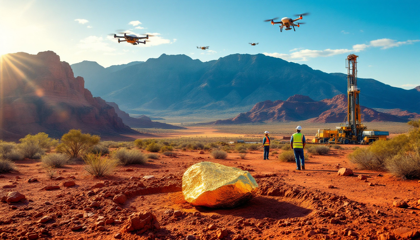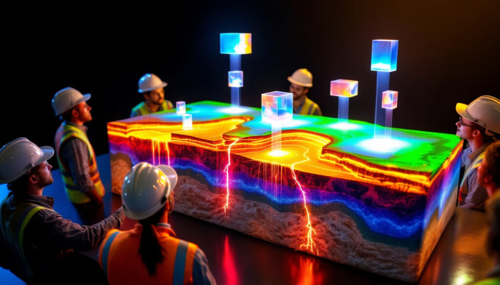
What is Effective 3D Geological Modelling?
Effective geological modelling transcends the mere creation of visually appealing 3D representations. It delivers functional models that serve as a unified source of truth for all project stakeholders. According to Findlay Fraser, Principal Consultant in Structural Geology at WSP Consulting, "Effective modelling requires understanding stakeholders' needs, project stage, geological setting, data limitations, and clear communication of model reliability."
Geological models are not end products but rather critical tools enabling downstream applications such as engineering designs, resource estimations, groundwater studies, and comprehensive mine planning. They form the foundation upon which technical decisions worth millions of dollars are based.
The distinction between a technically accurate model and an effective one lies in usability. A model might perfectly represent geological reality, but if it doesn't meet the practical needs of engineers, resource geologists, or environmental specialists, it fails to deliver maximum value to the project.
Industry experts emphasize that the most effective 3D geological modelling balances scientific accuracy with practical utility. They incorporate appropriate levels of detail based on available data quality while remaining accessible to non-geologists who rely on these models for critical decision-making.
Why Should You Identify Stakeholders Before Starting 3D Geological Modelling?
Stakeholders represent the primary users who depend on geological models to achieve their technical objectives. Without proper stakeholder alignment at the outset, different disciplines inevitably develop separate, inconsistent interpretations of the same geology.
Early stakeholder identification prevents costly misalignment issues that commonly lead to engineering designs conflicting with geological realities. As one mining engineer noted in industry feedback, "When geology isn't properly integrated with mine planning, we end up with operational nightmares that could have been avoided with better communication."
Stakeholder input critically determines fundamental model parameters including:
- Spatial extents and boundaries
- Appropriate scale and resolution
- Which geological features require inclusion
- How structures should be represented
- Level of detail needed for different zones
The consequences of overlooking stakeholder needs can be severe. Projects have experienced significant delays and cost overruns when geological models failed to incorporate critical parameters needed by engineering teams. In extreme cases, mines have encountered unexpected geological conditions that threatened both safety and economic viability.
Industry experience shows that projects with formalized stakeholder engagement protocols for geological modelling typically experience fewer technical conflicts and more seamless progression through development stages.
What Model Design Decisions Are Critical for Different Stakeholders?
Model Extents
Groundwater specialists typically require models extending kilometers beyond mineralized zones to accurately capture regional flow patterns and potential environmental impacts. In contrast, typical resource models extend merely 150-200 meters into waste rock from the ore boundary. This fundamental difference in spatial requirements highlights why early stakeholder consultation is essential.
Environmental teams often need broader coverage to assess acid rock drainage (ARD) risks, while geotechnical engineers focus on structural features that could impact pit wall stability or underground opening design. Each discipline's unique requirements must be accommodated for the model to function effectively as a common platform.
Model Scale
Underground operations demand finer, more detailed geology representation compared to open pit operations that work at larger extraction scales. As one underground mining specialist explained, "In narrow vein mining, centimeter-scale accuracy in vein position can mean the difference between profit and waste."
Scale considerations also impact computing resources and model usability. Excessively detailed models become unwieldy and impractical for regular use, while overly simplified ones may miss critical geological variations that impact mine planning or resource estimation.
Modelled Geology
Beyond basic lithology, decisions about including alteration zones, oxidation boundaries, resource domains, ARD risk factors, or vein density significantly affect downstream processing and mining engineering applications. These choices should be directly informed by stakeholder requirements rather than geological interest alone.
Mineral processing teams may require specific alteration zones to be modelled to predict metallurgical performance, while geotechnical engineers might need detailed fracture networks to assess rock mass stability. The most effective models incorporate these varied needs from the design stage.
Modelled Structure
Choices about representing brittle faults, ductile shear zones, damage zones, and fault properties significantly impact model usability for different disciplines. Understanding rock deformation in geological modelling is crucial for geotechnical engineers who require detailed structural information for stability analyses, while resource geologists may need structures primarily as domain boundaries.
Industry experience shows that poorly modelled structures frequently contribute to unexpected ground conditions during mining operations. As one site geologist commented, "When structural models fail to capture reality, we encounter dilution, ore loss, and potentially dangerous ground conditions."
How Should You Engage Stakeholders Throughout the Modelling Process?
Implementing a four-stage stakeholder engagement process provides the most reliable path to creating effective geological models:
-
Initial consultation: Begin by understanding each stakeholder's specific technical needs, required outputs, and how they plan to use the model in their workflows. Document these requirements formally to establish clear expectations.
-
Early-stage review: Provide stakeholders with preliminary model concepts to generate feedback on what's realistically achievable given data constraints. This stage often reveals critical gaps in understanding that can be addressed before significant modelling effort is invested.
-
70% completion review: Conduct a comprehensive usability test with stakeholders when the model is largely complete but still allows time for meaningful adjustments. This critical checkpoint ensures the model will meet practical needs before finalization.
-
Final handover session: Communicate confidence levels, usability parameters, and results during formal model delivery. This session should include documentation of known limitations and guidance on appropriate use cases.
Regular communication throughout the modelling process ensures the final product meets expectations and prevents unpleasant surprises. As one project manager noted, "The worst outcome is delivering a model that stakeholders see for the first time at handover and immediately realize doesn't meet their needs."
Testing understanding with stakeholders prevents misalignment between what was requested and what's being delivered. This approach builds trust and establishes geology teams as valued contributors to project success rather than isolated technical specialists.
What Are the Common Pitfalls in 3D Geological Modelling?
Creating geologically realistic models that fail to serve stakeholder needs represents perhaps the most common pitfall. Modellers sometimes become overly focused on geological accuracy while losing sight of how the model will actually be used in mining and exploration workflows.
Failing to recognize that the geological model forms just one link in a chain of technical studies that ultimately drive value creation leads to isolated models with limited practical utility. As one senior mining executive commented, "Beautiful geology is worthless if it doesn't translate to mineable reserves."
Not connecting effectively with upstream data collection teams and downstream technical specialists creates disconnected workflows. This often results in data being collected that doesn't address critical modelling requirements or models being created that can't be efficiently used by engineers and planners.
Building models in isolation without considering integration requirements can create significant technical challenges. For example, models may be constructed in coordinate systems incompatible with mine planning software or with geological units that don't align with metallurgical domains.
Using poor quality input data without verification was highlighted by multiple expert insights in mining industry dynamics as a fundamental problem. One commenter specifically noted, "Lazy people, uninformed people, and AI, are generating rubbish 'data' that the modellers are using but not checking." This observation underscores the critical importance of data validation before modelling begins.
How Does Data Quality Impact Geological Model Effectiveness?
The "garbage in, garbage out" principle applies powerfully to geological modelling. Despite sophisticated software and modelling techniques, the fundamental limitation remains the quality of input data. Models built on incorrect assumptions or unverified information inevitably lead to fundamental errors that undermine project value.
Some modellers make critical errors by failing to visit sites or ignoring input from field geologists with direct observational experience. This disconnect from physical reality can result in models that appear technically sound but fundamentally misrepresent the actual geology controlling mineralization or structural behavior.
Data verification procedures represent a critical but often overlooked aspect of effective modelling. These should include:
- Validation of drillhole surveys and collar locations
- Confirmation of core logging consistency and accuracy
- Cross-validation of assay results with visual observations
- Structural measurements verified against core photography
- Reconciliation with historical mining information where available
Industry veterans emphasize that effective modellers maintain healthy skepticism toward all input data until independently verified. As Brett Davis, a respected industry consultant, observed, "The most dangerous errors come from uncritical acceptance of data that looks reasonable but contains fundamental flaws."
What Makes a 3D Geological Model Trustworthy?
Models built with stakeholder needs at their core earn trust through demonstrated effectiveness in supporting technical decisions. When engineers, planners, and environmental specialists consistently find that geological models provide reliable inputs for their work, confidence in the modelling process naturally increases.
Regular stakeholder interaction throughout the modelling process builds credibility by ensuring that expectations are aligned and technical requirements are being met. This collaborative approach prevents the common problem of models being rejected by end users who weren't adequately consulted during development.
Understanding and communicating model reliability helps stakeholders interpret results appropriately. Effective modellers clearly document areas of high confidence versus speculative interpretation, allowing downstream users to apply appropriate risk factors to different model regions.
Models that successfully function as a single source of truth for all disciplines gain credibility by eliminating contradictory geological interpretations across departments. This unified approach supports consistent decision-making and prevents the common problem of competing geological narratives within a single organization.
Site verification of key geological assumptions significantly strengthens model validity. As one operations geologist noted, "Models created solely from an office without boots-on-ground verification inevitably miss critical features that can make or break mining operations."
FAQ: Common Questions About Effective Geological Modelling
What software is best for 3D geological modelling?
While Leapfrog Geo has become an industry standard for implicit modelling, the principles of effective modelling apply regardless of platform choice. The best software depends on specific project requirements, available expertise, and integration needs with other technical systems. Many operations successfully use combinations of Leapfrog, Micromine, Datamine, or custom solutions depending on modelling objectives.
How detailed should my geological model be?
The appropriate level of detail depends directly on the project stage and stakeholder needs. Early exploration models might focus on broad lithostratigraphic units and major structures, while advanced projects require detailed domaining for resource estimation. Underground operations typically need finer resolution than open pit mines due to selective mining methods. The key is matching model resolution to the decisions it will support.
Who should be involved in reviewing geological models?
All disciplines that will use the model for technical analysis should participate in reviews. This typically includes resource geologists, mining engineers, geotechnical specialists, hydrogeologists, metallurgists, and environmental scientists. Including field geologists who logged the core or mapped exposures is essential for reality-checking the digital interpretation against physical observations.
When should I update my geological model?
Models should be updated when significant new data becomes available or when stakeholder requirements change. During exploration, models might be updated after each drilling campaign, while operating mines might establish quarterly or semi-annual update cycles aligned with production reconciliation. The update frequency should balance the need for current information against the disruption of constantly changing geological interpretations.
How do I communicate model uncertainty?
Effective uncertainty communication includes both qualitative and quantitative approaches. Visualization techniques can highlight areas of sparse data or conflicting interpretations. Confidence categories (measured, indicated, inferred) provide standardized uncertainty measures for resources. Probability models can quantify structural uncertainty for geotechnical applications. Regular stakeholder discussions should always address reliability limitations to prevent misapplication of the model.
Building Models That Drive Value
Effective 3D geological modelling serves as practical tools enabling technical analysis and informed decision-making across multiple disciplines. Their success is measured not merely by geological accuracy but by stakeholder usability and contribution to project advancement.
Regular engagement with all technical specialists ensures models meet diverse requirements and function as unified platforms rather than isolated interpretations. This collaborative approach requires geologists to understand how their models impact everything from resource estimation to mine closure planning.
Understanding the broader context of how models will be used leads to more valuable contributions and establishes geologists as essential team members rather than technical specialists working in isolation. The most respected modellers develop reputation capital by consistently delivering useful, reliable interpretations that enhance project value.
Trust develops through delivering models that consistently meet stakeholder needs while accurately representing geological reality. This balanced approach requires both technical excellence and exceptional communication skills to bridge the gap between complex geology and practical engineering applications.
As mining projects face increasing technical, environmental, and social challenges, digital transformation in mining becomes increasingly important. Digital twin technology in mining and understanding mining drilling results are critical components that support effective 3D geological modelling for sustainable development. The models that drive the greatest value are those that successfully translate complex earth science into actionable information supporting responsible resource development.
Looking for an Edge in ASX Mineral Discovery Investing?
Discovery Alert's proprietary Discovery IQ model delivers real-time notifications when significant mineral discoveries are announced on the ASX, transforming complex geological data into actionable investment opportunities. Visit Discovery Alert's discoveries page to understand how major mineral discoveries have historically generated substantial returns for early investors.