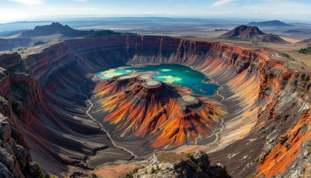
The Crooked River Caldera Discovery in Oregon stands as one of the most significant geological discoveries in the region. Dating back 29.5 million years, this volcanic structure spans roughly 40 kilometres long by 25 kilometres across. Its discovery, following detailed mapping, has reshaped our understanding of ancient volcanic systems. Early researchers also consulted understanding earth's dynamic crust to better grasp regional tectonics.
A chance encounter led geologists Jason McClaughry and Mark Ferns to this remarkable feature. Initially, their project focused on groundwater resources and landslide risks near Prineville. Improved 1:24,000 scale mapping revealed geological anomalies that had been missed on older 1:250,000 maps. This meticulous effort changed how scientists viewed ancient volcanic activity.
The research methods incorporated precision geochronology and advanced geochemical analysis. These techniques enabled the exact dating of volcanic deposits. Their work confirmed that the Crooked River Caldera Discovery in Oregon was not merely a surface feature but one of the largest calderas recorded in the Pacific Northwest's history.
The discovery process also drew on various complementary techniques. Researchers compared water well logs that showed thick green claystone deposits over 2,000 feet deep. Such deposits signify a rapidly-filled volcanic basin, underscoring the immense scale of the ancient eruptions. They also identified a striking boundary between these claystones and the surrounding harder rock.
A key moment came when the team found what they referred to as the "Rosetta Stone" location. At this site, tuff deposits lay directly against older andesites. This contact provided undeniable evidence of the caldera's boundary. The team’s approach to integration of mapping and geochemical data solidified the interpretation. Observing these layers has allowed earth scientists to reconsider regional volcanic histories.
The evidence for the Crooked River Caldera spans multiple facets. Bullet points summarise key observations:
- Over 2,000 feet deep claystone sections in water well logs.
- Discontinuity between thick volcanic deposits and adjacent rock units.
- Ring-fractured rhyolite domes intruding collapsed tuff layers.
- Angular unconformities up to 45° between different volcanic sequences.
These points collectively support the interpretation of a catastrophic caldera collapse. Geochemical analysis, including the matching of tuffs at Smith Rock and central deposits, further confirmed such links. Researchers even noted similarities with insights from carlin gold deposits, drawing parallels between distinctive eruption patterns in the region.
Comparisons with other volcanic features are inevitable. The Crooked River Caldera shares characteristics with Yellowstone-type systems. Its geochemical and isotopic imprints indicate an intraplate magmatic source rather than the subduction-driven volcanism typical of the Cascade Range. At 40 km by 25 km, it dwarfs many Cascade arc calderas. Multiple eruption cycles mirror those at Yellowstone, albeit on a different scale.
In fact, evidence points to at least three major eruption cycles. The volcanic events created extensive ash-flow tuffs and generated considerable hydrothermal systems along the caldera's rim. For instance, vibrant geyser and mud pot fields identified near the caldera's northeast margin suggest prolonged hydrothermal activity after the eruptions. These features have enriched our understanding of the dynamics of large caldera systems.
Researchers note that the proximity of the Crooked River Caldera Discovery in Oregon to other systems enriches our geological perspective. Tower Mountain Caldera, for example, dated at 32 million years, hints at explosive volcanism across eastern Oregon. Such overlapping events have led scientists to reassess the origins of extensive volcanic ash deposits found in the John Day Formation.
Chronologically, the eruptive history of the caldera spans about 1.4 million years. Early pre-caldera tuffs, emerging around 29.7 million years ago, set the stage for catastrophic collapses. The first major caldera-forming eruption occurred roughly 29.56 million years ago, producing extensive deposits correlated with the well-known "Member G" of the John Day Formation.
A subsequent major eruption around 28.3 million years ago was later recorded by deposits near Barnes Butte. Analysis of these layers suggests more than one cycle of collapse and re-eruption. A potential third eruption, linked to the Picture Gorge Ignimbrite, remains under investigation. The detailed volcanic timeline continues to intrigue researchers and refine regional geological models.
Following the main eruptions, smaller rhyolite domes intruded the caldera fill around 29.2 million years ago. These domes signify the final stages of magmatic activity. They represent residual pockets of magma that reached the surface through fractures in the caldera floor. Consequently, they form a complete record of an enormous volcanic system evolving over time.
The Crooked River Caldera Discovery in Oregon challenges previous geological assumptions. Until then, many believed that the extensive John Day Formation deposits originated solely from ancient Cascade volcanoes. Revised theories now acknowledge contributions from multiple volcanic sources. This realisation broadens our understanding of intraplate volcanism, especially in eastern Oregon.
Modern research has reinterpreted the formation of the John Day deposits. These insights reveal that various volcanic centres contributed to the formation of widespread ash and tuff layers, not just a singular chain. The discovery shows that explosive volcanism was both more widespread and more diverse than once thought. A greater number of volcanic events have been uncovered across the Pacific Northwest.
This research further suggests a potential connection with the Yellowstone hotspot track. Some scientists theorise that the Crooked River Caldera might represent a segment of this track. This hypothesis creates links between events shaping Siletzia and later formations like the McDermitt Caldera in Nevada. The revised view calls for a more integrated picture of North American volcanic history.
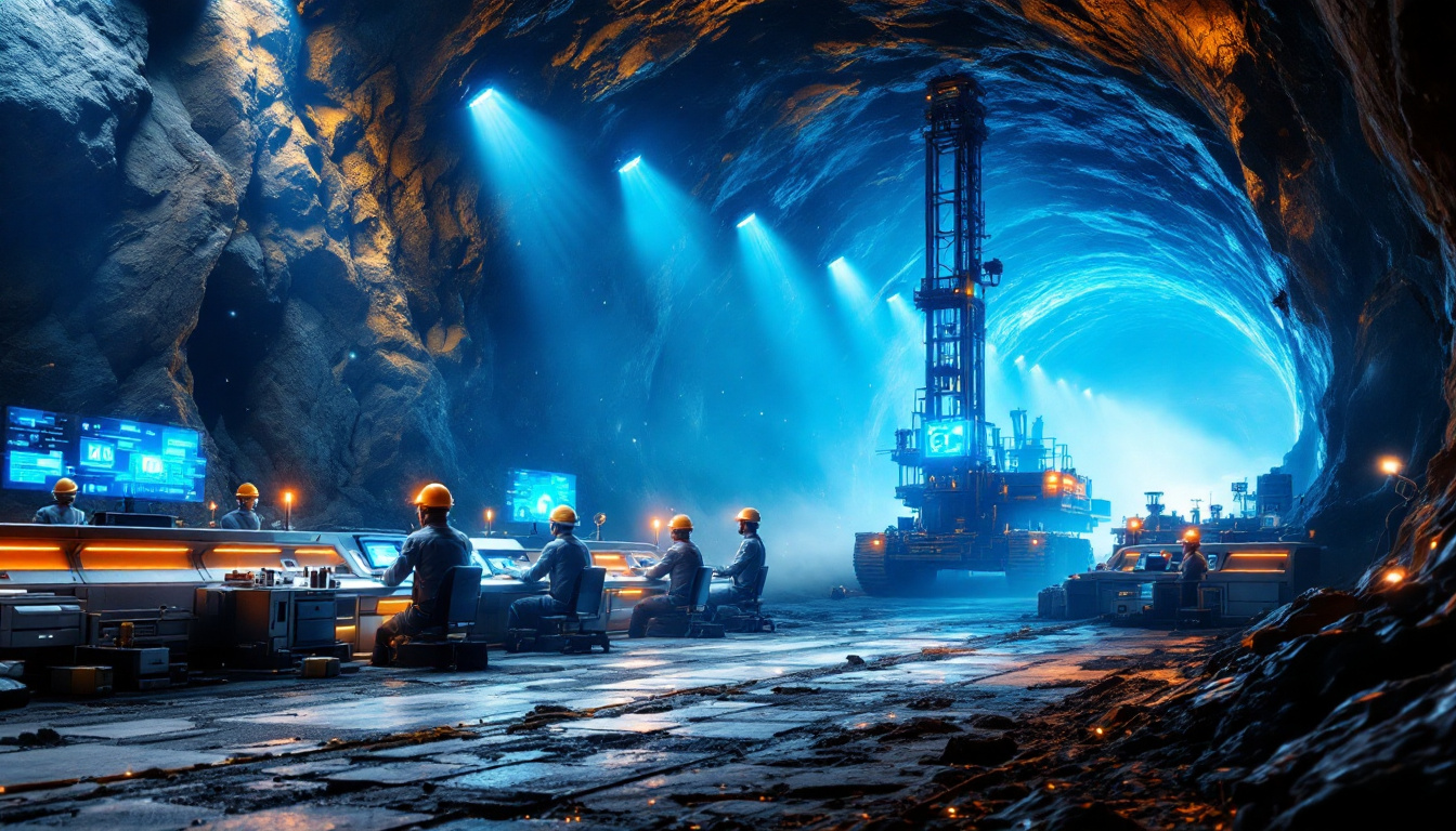
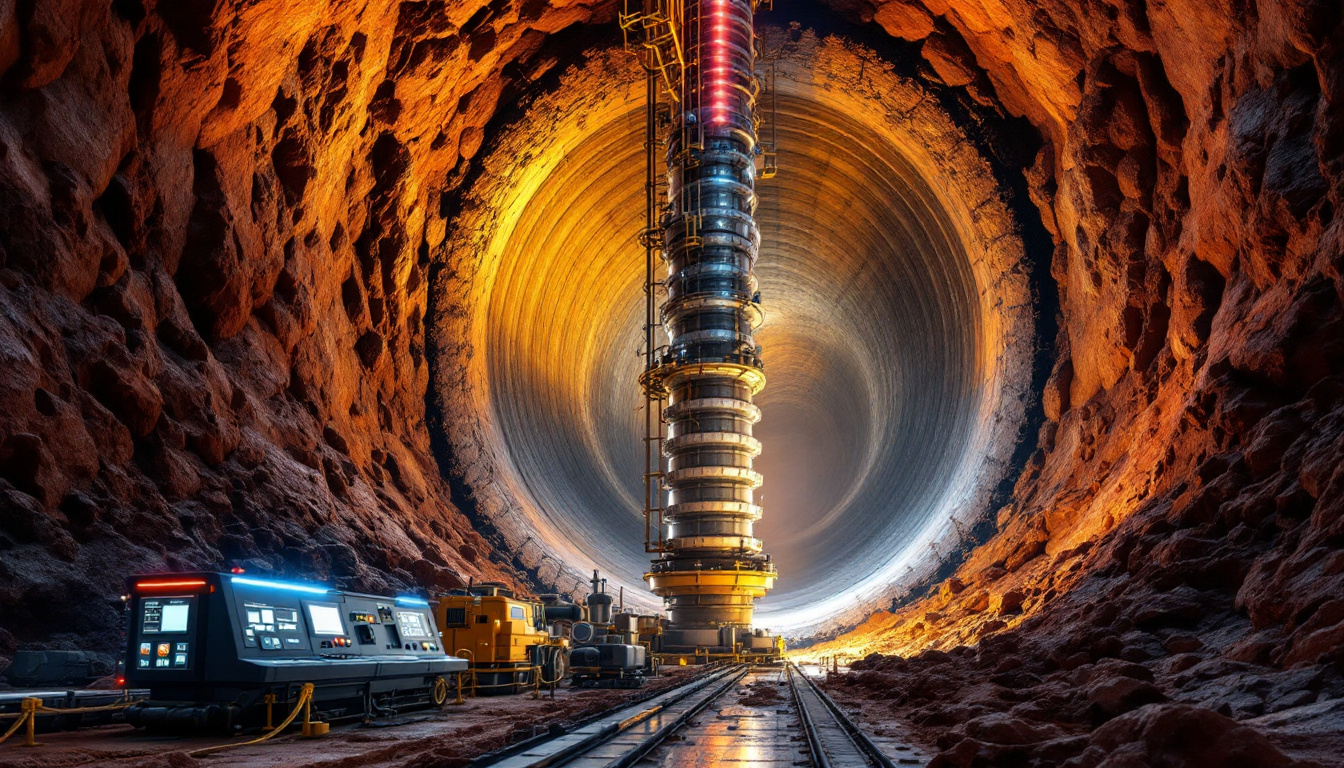
Advances in geochemical methods and accurate mapping have been crucial. In the laboratory, over 600 geochemical measurements were taken to establish chemical fingerprints for different volcanic units. Tools such as argon-argon and uranium-lead dating methods were vital. The detailed chronology of each eruptive event has now been satisfactorily established. For newcomers, resources like a beginner’s guide to mining drilling results can offer additional context for these technical endeavours.
Field work also played a central role. Geologists used well logs, detailed mapping at a 1:24,000 scale, and structural analysis of deformed volcanic rocks. Techniques included examining ring-fractured ridges and angular unconformities at the caldera's margins. Natural geological clues provided the evidence linking distant volcanic deposits. These findings underscore the importance of multidisciplinary approaches in geology.
The methods used in identifying the Crooked River Caldera have inspired a systematic search for other ancient volcanic centres in the region. Researchers now actively look for:
- Abnormally thick deposits of volcanic tuff or claystone.
- Circular or elliptical zones defined by ring fractures.
- Deformation patterns indicating collapse.
- Fossil geothermal features like hot springs and geysers.
Such criteria help in identifying other concealed volcanic systems. Exploration and detailed mapping maintain their importance in expanding our knowledge. In a similar vein, articles on formation and exploration of volcanic deposits provide insights into ongoing research worldwide.
An external perspective on the Crooked River Caldera can be found on Wikipedia. Crooked river caldera offers a concise historical and geological context for this formation. Such references complement field studies by providing background information and further reading for curious minds.
Another excellent external resource is the Deschutes Land Trust blog. Their article discusses the broader volcanic landscape in Oregon, including features related to the caldera. This blog offers visual insights and context that deepen understanding of the volcanic history of the region.
The Crooked River Caldera Discovery in Oregon has led to a paradigm shift in how geologists view the Pacific Northwest’s volcanic evolution. Its renewed study has spurred ongoing investigations that continue to surface new data and prompt revisions to existing theories. In every lecture and academic paper, the primary keyword reappears, highlighting the lasting impact of this discovery.
This remarkable discovery embodies a significant leap in geological research. With state-of-the-art mapping, advanced geochemical methods, and detailed field studies, the Crooked River Caldera stands as a vivid testament to nature’s dynamic processes. Continued investigations will likely yield further surprises hidden within Oregon’s ancient volcanic landscape.
In summary, key aspects of this geological treasure include:
- Comprehensive mapping at 1:24,000 scale.
- Multi-cycle eruption evidence with well-dated deposits.
- Advanced geochemical matching techniques.
- Broader implications for volcanic history and hotspot theory.
- Connections with other regional volcanic features, such as those covered in exploring epithermal deposit formation and significance.
The layered evidence continues to captivate researchers and enthusiasts alike. Each eruptive phase and mapping detail not only deepens our understanding but also lays the groundwork for future discoveries in volcanic research.
Intrigued by Major Geological Discoveries Like the Crooked River Caldera?
Stay ahead of the market with real-time alerts on significant mineral discoveries powered by Discovery Alert's proprietary Discovery IQ model, transforming complex geological data into actionable investment opportunities for both short-term traders and long-term investors. Explore historic returns from major discoveries at https://discoveryalert.com.au/news/discoveries/ and position yourself to capitalize on the next groundbreaking find.