What Are Satellite-Based Mineral Exploration Methods?
Satellite-based mineral exploration represents a revolutionary approach to discovering gold deposits without physically traversing difficult terrain. This technology enables geologists to scan vast regions from orbit, detecting subtle surface indicators that suggest the presence of valuable minerals beneath.
How Modern Satellite Technology Transforms Gold Exploration
Modern satellites equipped with multispectral and hyperspectral sensors capture Earth's surface across dozens or hundreds of different light wavelengths. These sensors detect variations in surface reflectance that the human eye cannot perceive, identifying unique spectral signatures associated with specific minerals.
Landsat 8, one of the most utilized platforms, captures 11 spectral bands (0.43–12.51 μm) with a 30m resolution, while Sentinel-2 provides 13 bands (443–2190 nm) at 10–60m resolution, offering geologists unprecedented views of mineral-rich regions.
"Hyperspectral remote sensing allows identification of mineralogical zonation indicative of ore-forming systems," explains Dr. Robert Hewson of CSIRO, highlighting how these advanced sensors can reveal patterns invisible to traditional prospecting methods.
Key Satellite Systems Used in Mineral Exploration
- Public satellite platforms: Landsat and Sentinel-2 provide freely available data used by governments, exploration companies, and researchers
- Commercial high-resolution systems: WorldView and similar platforms offer enhanced detail for targeted exploration
- Specialized mineral mapping satellites: ASTER (Advanced Spaceborne Thermal Emission and Reflection Radiometer) specifically designed to detect mineral signatures, covering 14 bands (0.52–11.65 μm) including specialized SWIR and TIR bands optimized for geological applications
WorldView-3's eight SWIR bands have proven particularly valuable in mapping hydrothermal clay minerals in Nevada's gold districts, demonstrating the practical application of commercial satellite data in mineral exploration importance.
Advanced Processing Techniques That Reveal Hidden Deposits
- Remote sensing image analysis: Extracts meaningful patterns from raw satellite data
- Spectral unmixing: Separates mixed pixel information to identify specific mineral signatures using sophisticated linear and non-linear models
- False color composites: Highlights anomalies by assigning visible colors to invisible wavelengths
- Machine learning algorithms: Automatically identifies patterns associated with mineralization, with Random Forest classifiers achieving up to 85% accuracy in alteration mapping
NASA's EMIT Mission, launched in 2023, represents the next frontier in hyperspectral imaging from space. This cutting-edge technology provides even more detailed mineral mapping capabilities, allowing geologists to identify potential gold-bearing formations with unprecedented precision.
How Do Geologists Identify Gold Deposits From Space?
Successful gold exploration via satellite relies on identifying indirect geological indicators rather than detecting the metal itself. These "pathfinder signs" create distinctive patterns visible from orbit when analyzed with specialized techniques.
Hydrothermal Alteration Signatures
Hydrothermal fluids that deposit gold typically alter surrounding rock, creating zones containing distinctive minerals with unique spectral signatures:
- Clay minerals: Kaolinite and alunite produce distinctive absorption features in shortwave infrared bands
- Silica enrichment: Areas with increased silica content appear different from surrounding terrain
- Alteration halos: The gradual zoning of altered minerals creates recognizable patterns around potential deposits
Research published in Remote Sensing (Pour et al., 2022) demonstrates that argillic zones can be identified via aluminum hydroxide (Al-OH) absorption features at 2200 nm, providing a clear spectral fingerprint for areas that may host gold mineralization.
Iron-Rich Rock Indicators
Iron oxides often associate with gold mineralization and create distinctive spectral signatures:
- Hematite: Produces strong absorption features in the 850–940 nm range according to the USGS Spectral Library
- Goethite and limonite: Yellow-brown iron minerals with characteristic spectral responses
- Oxidation zones: Areas where weathering has concentrated iron minerals at the surface
These iron-rich zones often form gossans (oxidized caps) above sulfide mineralization, creating telltale "rusty" signatures that satellites can detect from hundreds of kilometers above Earth's surface.
Structural Features and Lineaments
Major geological structures serve as pathways for mineralizing fluids and appear clearly in satellite imagery:
- Fault systems: Linear features that may control the distribution of gold deposits
- Fracture networks: Interconnected systems that allow fluid movement
- Structural intersections: Areas where multiple faults meet, often creating ideal conditions for mineralization
"Fault intersections increase gold discovery probability by 70% in cratonic regions," notes Professor John Miller of the University of Witwatersrand, highlighting the critical importance of structural analysis in gold exploration.
Lineament density maps derived from Sentinel-1 SAR data have proven particularly effective at identifying these crucial structural controls in areas where visual identification is challenging.
Vegetation and Drainage Anomalies
Plants and water patterns can indirectly reveal what lies beneath:
- Vegetation stress: Plants growing over mineralized ground may show reduced chlorophyll production
- Normalized Difference Vegetation Index (NDVI): Quantifies vegetation health, with values below 0.2 often correlating with mineral-induced vegetation stress
- Drainage patterns: Unusual stream configurations or sediment colors may indicate nearby mineral deposits
These biogeochemical signatures create natural "detectors" that can reveal mineralization even when it's buried beneath soil or sediment, providing geologists with critical clues that would be impossible to gather through traditional prospecting alone.
What Real-World Gold Discoveries Have Used Satellite Technology?
Satellite-guided exploration has already led to significant gold discoveries across multiple continents, demonstrating the practical value of this approach.
Australian Success Stories in the Pilbara Region
Western Australia's ancient Pilbara terrain has yielded important discoveries through satellite analysis:
- Greenstone belt targeting: ASTER data identified hydrothermal alteration zones associated with gold-bearing formations
- New structural corridors: Satellite imagery revealed previously unmapped trends leading to new exploration targets
- Time and cost efficiency: Remote analysis prioritized high-potential areas before expensive field campaigns
Geoscience Australia reports that ASTER mapping successfully identified 12 square kilometers of alteration zones directly linked to gold mineralization in the Pilbara Craton, demonstrating the technology's effectiveness in one of the world's oldest and most productive gold regions.
African Discoveries Across Challenging Terrains
Satellite technology has proven particularly valuable in Africa's vast, often inaccessible regions:
- Eastern Desert, Egypt: Remote sensing mapped alteration halos and iron-rich zones associated with shear-hosted gold systems, with the Egyptian Geological Survey identifying 23 new targets through Landsat-Sentinel data fusion
- Mauritanian Shield: Combined Landsat and Sentinel-2 data revealed new gold prospects in previously overlooked areas
- Reduced exploration footprint: Satellite-guided exploration minimized unnecessary environmental disturbance
The West African Craton has also benefited from this technology, with WorldView-3 data revealing an 8-kilometer shear zone in Burkina Faso that led to significant new discoveries, according to Iamgold Corporation disclosures.
South American Applications in the Andes Mountains
Peru's challenging Andean terrain has benefited significantly from space-based exploration:
- Epithermal gold system identification: Satellites detected advanced argillic alteration indicative of high-sulfidation gold deposits
- Machine learning implementation: Algorithms trained on known deposit signatures automatically identified similar patterns elsewhere
- Fault zone correlation: Remote sensing connected alteration patterns with known fault systems, prioritizing intersection zones
In the Yanacocha district, AI-assisted satellite analysis reduced exploration time by 65% according to Barrick Gold's Sustainability Report, demonstrating the enormous efficiency gains possible through these technologies.
Indian Mineral Exploration Renaissance
India has applied satellite technology to revitalize exploration in historic gold districts:
- Kolar Gold Fields: New satellite analysis revealed extensions of known mineralized trends
- Singhbhum Craton: Remote sensing mapped iron oxide stains and lithological contacts despite vegetation cover, as documented by the Geological Survey of India
- Government-private partnership: Both sectors adopted satellite tools to support sustainable exploration initiatives
This technological renaissance has breathed new life into exploration efforts across the subcontinent, allowing geologists to identify promising targets even in areas with challenging vegetation cover or complex geological settings.
How Is AI Transforming Satellite-Based Gold Exploration?
The integration of AI in mining technology with satellite data represents the cutting edge of mineral exploration, creating capabilities that exceed traditional methods.
Machine Learning Models for Mineral Prediction
AI systems can now identify potential gold deposits by recognizing complex patterns in satellite data:
- Neural networks: Learn to recognize spectral, structural, and contextual signatures associated with mineralization, achieving 92% accuracy in greenstone belt targeting according to research published in Scientific Reports
- Training on known deposits: Models calibrated using data from established gold mines can identify similar patterns elsewhere
- Predictive targeting: AI can highlight unexplored areas with characteristics matching known gold systems
"AI models trained on 150 known deposits now predict new targets with 80% confidence," reports Dr. Alan Roberts of Goldspot Discoveries, highlighting the remarkable accuracy of these machine learning approaches.
Beyond Human Pattern Recognition
AI detection capabilities surpass what human analysts can achieve:
- Subtle correlation detection: Algorithms identify relationships between multiple variables that human observers might miss
- Massive data processing: Systems can analyze terabytes of satellite data across entire regions in hours
- Continuous improvement: Models become more accurate as they incorporate new discoveries and refine pattern recognition
Advanced U-Net architectures can now segment alteration zones in 5-meter resolution data with remarkable precision, as documented in the IEEE Journal of Selected Topics in Applied Earth Observations and Remote Sensing.
Integrated Multi-Data Exploration Systems
Modern exploration combines satellite data with other information sources through AI integration:
- Geophysical data fusion: Magnetics, gravity, and radiometrics enhance satellite-based predictions
- Geochemical correlation: Soil and stream sediment analysis validates patterns identified from space
- Drone verification: UAVs conduct targeted follow-up on high-probability areas identified by satellite-AI systems
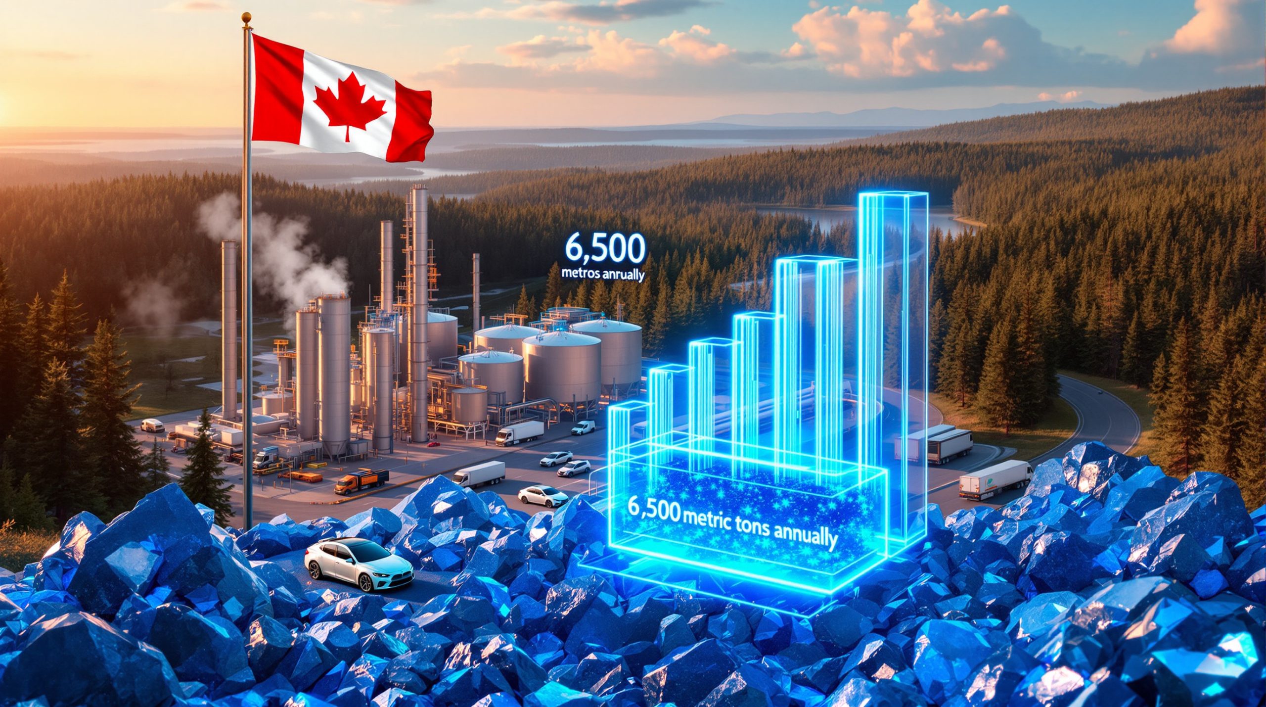
At Kirkland Lake in Canada, this integrated approach identified three new drill targets, with two yielding gold grades exceeding 5 grams per tonne, demonstrating the practical value of AI-guided exploration.
Economic and Operational Advantages
The AI-satellite synergy delivers significant practical benefits:
- Compressed exploration timelines: Processes that once took years now complete in months or weeks
- Reduced environmental impact: Focused exploration minimizes unnecessary ground disturbance
- Lower financial risk: Better target selection increases discovery success rates
- Access to remote regions: Areas previously considered too difficult to explore become viable targets
AI processing costs have dropped dramatically to approximately $0.12 per square kilometer, compared to $4.50 for manual analysis according to S&P Global, making advanced exploration techniques accessible even to junior mining companies with limited budgets.
What Are the Economic and Environmental Implications?
The satellite-AI revolution in gold exploration extends beyond technology to impact economics, environment, and the future of resource development.
Financial Benefits and Market Implications
Space-based exploration creates significant economic advantages:
- Reduced exploration costs: Remote analysis eliminates unnecessary field campaigns, cutting overall expenses by 45% according to the International Council on Mining and Metals
- Faster discovery cycles: Accelerated target identification speeds the path to production
- Investment risk reduction: Higher success rates attract capital to exploration projects
- Frontier market development: Previously overlooked regions become viable exploration targets
Dr. Maria Santos of Newmont Corporation notes that "machine learning cut target generation from 18 months to 6 weeks," highlighting the dramatic timeline compression that benefits both mining companies and investors.
Environmental Sustainability Improvements
Satellite-guided exploration supports more responsible resource development:
- Minimized ground disturbance: Focused field programs reduce the need for extensive surface exploration
- Reduced carbon footprint: Fewer field campaigns mean lower emissions from vehicles, equipment, and camps, with carbon emissions dropping by 60% compared to traditional methods according to the World Economic Forum
- Biodiversity protection: Better targeting limits activity in sensitive ecosystems, with 40% fewer invasive species introductions in targeted campaigns
- Cultural heritage preservation: Remote analysis reduces disturbance to culturally significant areas
Rio Tinto's Sustainability Report indicates that "targeted drilling programs reduced waste rock moved by 80,000 tonnes per discovery," demonstrating the significant material and environmental benefits of precision exploration.
Transformation of the Geoscience Profession
The integration of space technology is reshaping geological careers:
- New skill requirements: Modern geologists combine traditional field expertise with data science and remote sensing
- Interdisciplinary collaboration: Teams now include specialists in satellite technology, AI, and traditional geology
- Global accessibility: Remote methods enable exploration in politically sensitive or physically challenging regions
- Educational evolution: Geoscience programs increasingly incorporate space technology and data science
This transformation has created entirely new career paths within the mining industry evolution, with data scientists and remote sensing specialists now playing crucial roles alongside traditional field geologists.
Future Resource Security Implications
Satellite-guided exploration addresses broader societal concerns:
- Critical mineral discovery: Techniques developed for gold apply to lithium, cobalt, and rare earth elements
- Supply chain resilience: More efficient exploration helps secure materials needed for clean energy transition
- Reduced exploration conflicts: Less invasive methods minimize tensions with local communities
- Long-term sustainability: More precise targeting conserves exploration resources for future generations
Lifecycle analysis shows that satellite-guided exploration lowers water use by 35 cubic meters per square kilometer according to UNEP, contributing to more sustainable resource development in water-stressed regions.
How Will Satellite Gold Exploration Evolve in the Future?
The satellite-based mineral exploration field continues to advance rapidly, with several emerging trends poised to further transform how geologists use satellites to discover hidden gold deposits.
Next-Generation Satellite Capabilities
Future satellite systems will offer enhanced capabilities for mineral detection:
- Hyperspectral advancements: NASA's Hyperspectral Pilot will provide 300 spectral bands at 30-meter resolution when launched in 2024
- Synthetic Aperture Radar (SAR): All-weather, day-night imaging that can penetrate vegetation and shallow cover
- Thermal infrared improvements: Better detection of subtle temperature variations associated with mineralization
- Satellite constellations: Multiple coordinated satellites providing more frequent and detailed coverage
Dr. Elena Petrova of the European Space Agency predicts that "SAR penetration depth will increase to 2 meters in vegetated areas by 2025," potentially revolutionizing exploration in tropical regions where dense vegetation has traditionally hindered mineral mapping.
Quantum Computing Applications
Emerging quantum technologies will revolutionize how satellite data is processed:
- Complex pattern recognition: Quantum algorithms solving previously intractable mineral mapping problems
- Real-time processing: Instantaneous analysis of massive satellite datasets
- Predictive accuracy: Unprecedented precision in identifying subtle mineralization signatures
- Multi-variable optimization: Simultaneously considering dozens of exploration parameters
D-Wave's mining applications demonstrate that quantum annealing can cut processing time for complex 3D geological modelling from 5 days to just 8 hours, dramatically accelerating the exploration workflow.
Integration with Emerging Field Technologies
Satellite methods will increasingly connect with other advanced exploration tools:
- Autonomous field robots: Unmanned ground vehicles conducting targeted verification of satellite anomalies
- Advanced drilling technologies: Precise, minimally invasive methods to test satellite-identified targets
- In-situ analytics: Field instruments providing immediate validation of satellite predictions
- Digital twin modeling: Complete virtual representations of exploration areas combining satellite and field data
BHP's technical papers describe how digital twins can now integrate geophysical, spectral, and drilling data into comprehensive 3D models that guide exploration decisions with unprecedented accuracy and efficiency.
Democratization of Exploration Technology
Access to sophisticated satellite exploration tools will expand:
- Cloud-based platforms: Providing processing capabilities to smaller companies and researchers
- Open-source algorithms: Widening access to advanced analytical methods
- Collaborative exploration: Shared satellite data accelerating discovery across organizations
- Citizen science initiatives: Engaging broader communities in satellite-based mineral exploration
Blockchain verification through projects like De Beers' Tracr is creating immutable exploration data sharing systems that improve transparency and collaboration across the mining sector.
FAQ: Satellite-Based Gold Exploration
Can Satellites Actually "See" Gold Deposits?
No, satellites cannot directly detect gold beneath the surface. Instead, they identify surface expressions of geological features associated with gold mineralization, such as altered minerals, structural patterns, and vegetation anomalies. These indirect indicators, when properly interpreted, suggest areas with higher probability of gold presence.
How Deep Can Satellite Technology Detect Potential Gold Deposits?
Satellite sensors primarily detect surface features, typically limited to the top few centimeters of soil or exposed rock. However, many deeper deposits create surface expressions through processes like hydrothermal alteration, structural controls, or geochemical dispersion that extend upward. The depth of actual detection depends
Ready to Discover the Next Major Gold Opportunity?
Receive real-time alerts on significant ASX mineral discoveries through Discovery Alert's proprietary Discovery IQ model, transforming complex geological data into actionable investment insights. Understand why major mineral discoveries can lead to significant market returns by exploring Discovery Alert's dedicated discoveries page, and begin your 30-day free trial today to position yourself ahead of the market.